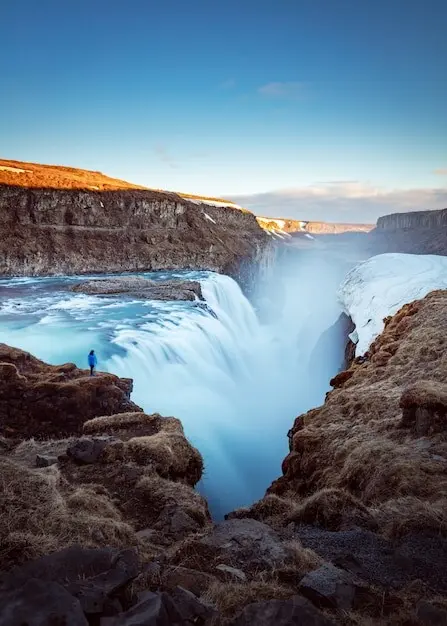
Finding Your Way Above the Treeline
Today we dive into navigating alpine trails using paper maps and compass skills, celebrating the calm certainty they offer when batteries die, fog rolls in, and landmarks fade. Expect practical techniques, lived experience, safety insights, and a friendly push to practice, share questions, and swap mountain stories that turn careful preparation into confident movement across sprawling ridgelines and silent, snow-laced basins.
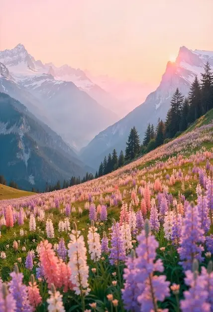
Decoding Topographic Clues
Contours are sentences written by the mountain itself, revealing steepness, hidden benches, corniced ridgelines, and gentle cols. Learn to see U-shaped valleys, knife-edge aretes, avalanche paths, and moraine humps before you depart. Circle water sources, note cliffs and potential choke points, and highlight conservative alternate lines. When you finally look up, the landscape will match your annotated map like an old friend pointing the way.
Dialing in Declination Before You Go
Magnetic north and true north rarely agree, and that quiet disagreement can nudge you down the wrong gully. Verify local declination using a current source, adjust your baseplate compass properly, and record the value on your map margin. Recheck it yearly, since it drifts over time. Practice converting bearings in both directions until it feels natural, so quick decisions in cold wind remain precise and trustworthy.
Building a Reliable, Lightweight Navigation Kit
Carry a waterproofed paper map, a quality baseplate compass with a clear, stable needle, a small grease pencil, and a thin cord for pacing beads. Add a backup compass, a resealable map case, and a compact notebook for bearings, times, and fuel checks. Keep everything accessible in one pocket, so you actually use it. Redundancy without bulk keeps you deliberate, fast, and ready for surprises when clouds descend.
Preparation That Starts at the Kitchen Table
Before boots touch gravel, preparation shapes every decision you will make when granite walls loom and weather shifts. Gathering detailed topographic maps, understanding contour intervals, printing route variants, and marking bailout options create resilience. Pair that groundwork with updated declination values, laminated reference cards, and a simple plan for checking progress, so your compass whispers clarity even when alpine wind tries to scatter your thoughts.
Handrails, Catch Features, and Smart Attack Points
Use rivers, prominent ridges, or the edge of a treeline as handrails guiding steady movement. Choose unmistakable catch features like a lake outlet, deep saddle, or boulder field to confirm arrival. From there, pick a nearby attack point leading with precision to your objective. Chain these elements across the day, and small hops replace long leaps of faith. Confidence grows as each planned cue appears exactly where expected.
Let Contours Tell the Wind’s Story
Tightly spaced contours shout of cliffs and struggle, while widely spaced ones invite playful strides. Notice stacked bowls that funnel gusts, ribs that block storms, and cols where weather squeezes through early. On your paper map, contours describe shelter, exposure, and probable snow deposition without a single forecast. When your cheeks meet crosswinds matching the lines you studied, belief strengthens, and your compass bearing feels anchored by the mountain’s rhythms.
Whiteout Strategies When the World Turns Blank
In fog or blowing snow, terrain association shrinks to arm’s length. Preselect bearings between safe, distinct features, set conservative legs, and time or pace carefully. Use reflective markers on companions for spacing and leapfrogging alignment checks. Avoid cornices and steep rollovers by planning detours on your map before visibility collapses. Calm routines, repeated methodically, transform milky confusion into a slow, deliberate glide toward known, protective terrain boundaries and reliable exit lines.
Compass Moves That Keep You Honest
A compass offers reality checks when instinct argues. From setting a bearing to bracketing uncertainty, your needle removes ego from decisions. Practice when the sun shines, so muscle memory holds in sleet. Keep the capsule level, align the orienting lines with map grids, and walk a straight course while glancing forward, not at your feet. Adjust briskly for obstacles, then reestablish your direction with disciplined, repeatable steps, never rushed.
Group Communication That Works When Gusts Roar
Wind steals words, so use clear hand signals, prearranged pauses, and confirmation checks after every major bearing change. Rotate leadership to avoid tunnel vision and fatigue. Keep distance close enough for visual contact but far enough for rockfall safety. Encourage questions, especially from quieter hikers, inviting them to point features on the map. Shared situational awareness beats solo brilliance, transforming individuals into a reliable, thinking organism that cannot be easily surprised.
Choosing the Smarter Junction at Complex Splits
At an unmarked fork, resist the path that merely looks easier. Pause, verify slope aspect, count contour crossings, and check the shape of nearby spurs. If doubt persists, probe a short distance on a bearing while timing your movement, then reassess against the map. Slow is smooth, smooth is fast. When you collect two independent confirmations—a bearing and a terrain feature—proceed. Stacking evidence keeps you honest when fatigue starts telling stories.
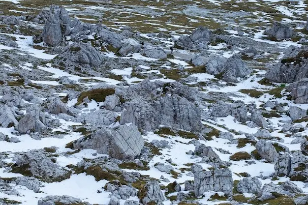
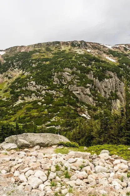
Weather, Seasons, and Shifting Lines on the Ground
Alpine conditions redraw reality without asking permission. Spring snow bridges collapse, summer talus opens, and autumn ice polishes slabs into glass. Your paper map remains constant, but interpretation must flex. Anticipate seasonal hazards, assess slope angles conservatively, and rehearse what-if detours beforehand. Blend bearings with sky reading, wind direction, and snow texture. When contradictions appear, slow down, collect more evidence, and choose the option that leaves the most room for error.
Trail Tales and an Open Invitation
{{SECTION_SUBTITLE}}
The Ridge That Lied About North
On a bluebird morning, a curving ridge seduced our eyes into a gradual rightward drift. The compass disagreed, politely at first, then firmly. We paused, rechecked declination, and trusted the needle. Minutes later, a distinctive rock window appeared, exactly where the map promised. Pride swallowed, we laughed, logged the lesson, and finished the day earlier than planned, grateful that simple tools can outvote beautifully persuasive terrain when glamour starts misleading judgment.
A Crumpled Map, a Warm Bottle, and a Second Chance
Sleet soaked everything, turning our only copy into a translucent riddle. We slid it inside a dry bag and pressed a warm bottle against it until contours reemerged, shy but legible. Bearings resumed, morale lifted, and we threaded a safe line between cliffs. That night, we laminated spares and taped a tiny pencil to the compass lanyard. Preparation is kindness to your future self, especially when the sky forgets to be gentle.
All Rights Reserved.